North - South Track
|
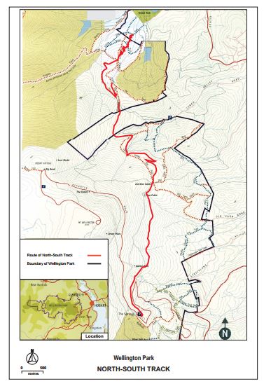
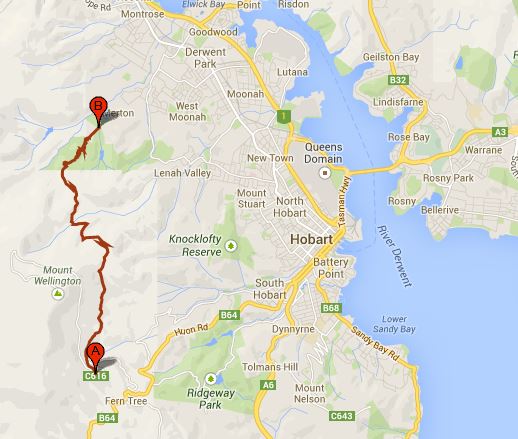
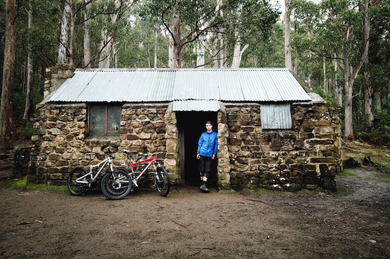
This 20km purpose built shared-use track in Wellington Park linking The Springs with the Glenorchy Mountain Bike Park is an interesting and appealing track for both mountain bike riders and walkers.
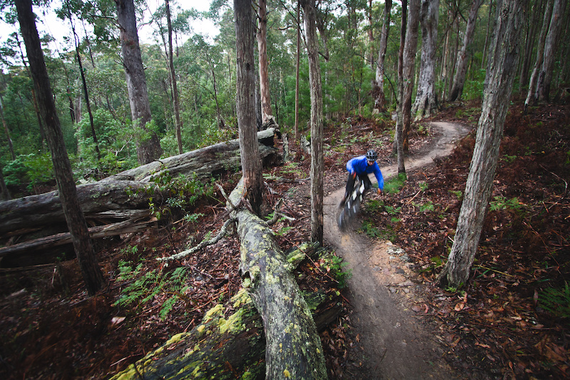
The track was completed in December 2011 and the methods used in its construction are both functional and artistic. These include dry-stone walls, log rides, jumps and the impressive clapper bridge which crosses the New Town Rivulet . The track is suitable for mountain bike riders of moderate ability (with some more challenging features located on side loops) and there are good sight lines enabling riders and walkers to easily see each other. Please be a safe bike rider by respecting other track users, by staying on the track, by minimising your impact on the environment and by riding the track and the optional technical features within your level of ability. Creek crossings may be impassable after high rainfall events. This ride in normally ridden from south > north, ending at the Glenorchy MTB Park. It is normally done as a shuttle ride. |
|
|
Address
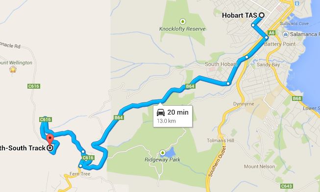
Start Point - The Springs, Pinnacle Rd, Mt Wellington. Google map at this link End Point - Glenorchy MT Park Google map at this link Trail Head Services Nil at trail head but takeaway & tavern only 7 minutes drive away, at Ferntree. Map at this link. There are toilets and some basic BBQ facilities at the Springs. Car Travel Times Hobart CBD > The Springs - 20 minutes Glenorchy - Hobart CBD - 20 minutes Services Heaps in Hobart CBD and on way up at South Hobart Nearest Bike Shops Cyclingo - 466 Macquarie St, South Hobart TAS 7004 - map - 10 minutes away in South Hobart (on way up to the start point at The Springs or other bike shops in CBD Mobile Reception - Can be patchy Telstra Optus More info- http://flowmountainbike.com/features/trails-mt-wellington-north-south-track-tasmania/ http://www.greaterhobarttrails.com.au/track/north-south-track/ Amazing mountain bike track in Tasmania - The North South track Track Notes - http://www.tassietrails.org/component/content/article/8-routes/mtb/15-north-south-trail |
This clip starts at the top of Mt Wellington and then enters the North - South track below The Springs.
|