
Penguin MTB Park / Dial Range
|
Dining
|
Other
|
|
Penguin MTB Park and Dial Range
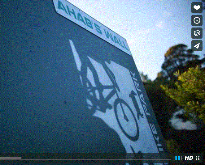
This venue is home to the Penguin MTB Park and the start and finish point to the Cranky Penguin MTB Marathon course. Penguin MTB Park & Skills Area Although there is only around 4km of trails in this park, what it lacks in quantity it certainly makes up for with quality. The trails snake their way around a disused asphalt speedway, twisting and turning in every direction. The highlight of the park are the creative wooden structures including a corkscrew bridge, a couple of massive berms and some skills sections. The wooden structures are amazing and punters will often ride them over and over again with glee. If you have not ridden these trails before you will love it. So much fun packed into such a small space (words Flow Mountainbike) Skills area - Watch the vids to see it all Video source Next Level Mountain Bike
video by Boudewijn Stolk
|
|
|
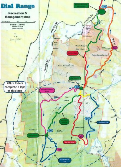
Cranky Penguin / Dial Range Course
40 km with 1600 metres of elevation extra lap 70 km 2400 metre of elevation This trail is a mixture of forestry trails, motorcross trails and old wooden tramways. If you are not going up, then you are going down unless you are cruise along the Leven River, which is a ripper. The full Crank does an additional lap, making it 70 km and 2400 of elevation. PLEASE Note - The red section of trail before the number 10 on the map below is NOT open to MTB. This section of track was only open for the race. It is best to park you car at the green spot (No 40) and ride out on the road, as per the orange route on the map. Alternatively, drive out the orange route / Dial Rd and park near the motorcross track before the number 10. |
|
